GIS and Vegetation Mapping:
2MCFire understands the unique challenges you face; from simple fire suppression to complex, large-scale incident response involving numerous agencies. Our Geographic Information System (GIS) platform is designed to meet the needs of the wildfire protection mission. The GIS gives you the right tools to make accurate, informed decisions under any conditions.
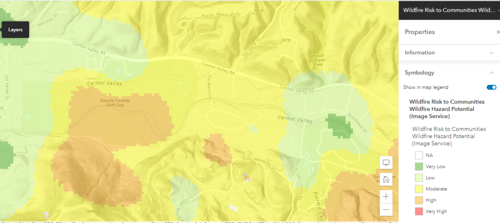
• Determine areas vulnerable to intense fire behavior.
• Identify critical values at risk.
• Predetermine fire tactics and strategies.
• Establish situational awareness through a GIS-based common operating picture.
• Produce key maps and analysis to support fire suppression operations.
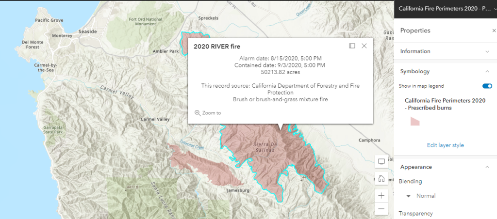
• Identify and analyze fire damage to develop rehabilitation plans.
• Inform the clients of changing conditions such as road closures and threatened areas.