
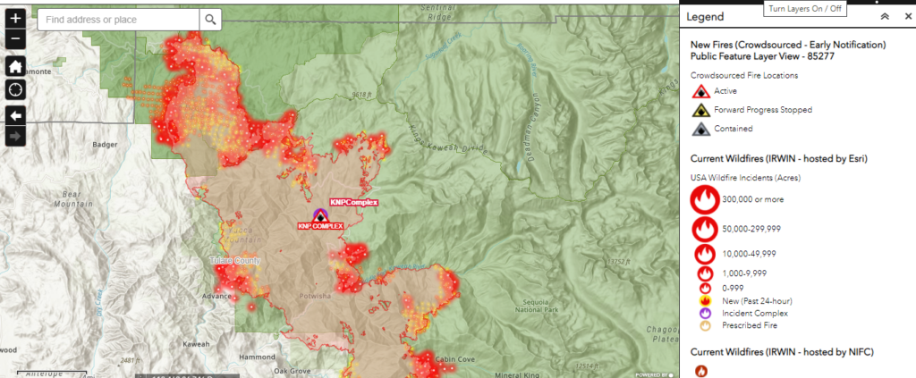
2MCFire Wildfire Monitoring & Data Analysis
2MCFire provides wildfire monitoring through data aggregation and analytical mapping, designed to support risk awareness and situational understanding.
Our monitoring services utilize publicly available data sources, geospatial datasets, and modeling tools to track wildfire activity and evaluate potential property exposure. All monitoring is informational and analytical in nature.
How Monitoring Services Work
Our team compiles and analyzes data from sources such as:
- Public wildfire perimeter datasets
- Weather and environmental conditions
- Vegetation and fuel models
- Historical fire data
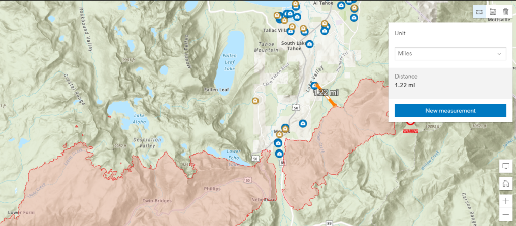
Using GIS-based tools, we generate mapping visualizations and exposure summaries that illustrate how wildfire activity may relate to identified properties or areas of interest.
Analytical Outputs
Clients may receive:
- Map-based visualizations of wildfire perimeters and surrounding areas
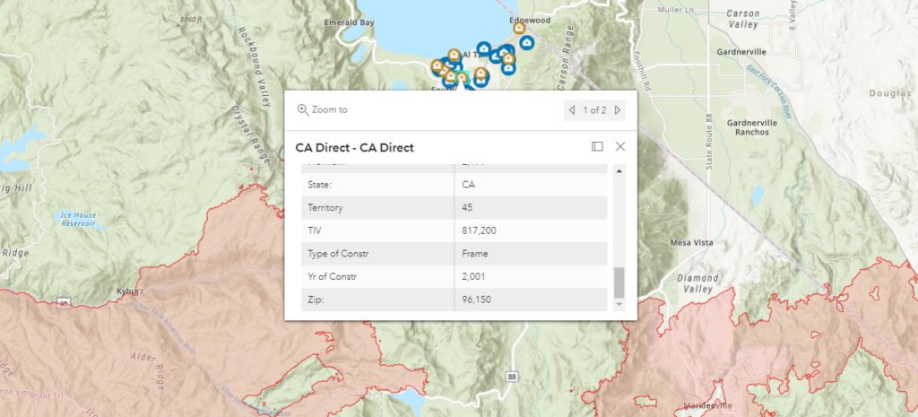
- General exposure summaries based on available data
- Periodic updates reflecting changes in publicly available information
All outputs are intended to support planning, documentation, and general risk awareness.
Client Asset Mapping
Clients may elect to have property locations or assets incorporated into the mapping platform for analytical reference purposes.
Once included, these assets can be evaluated in relation to:
- Wildfire activity
- Flood-related datasets
- Vegetation and environmental conditions
- Historical hazard data